
recordIT
via
via
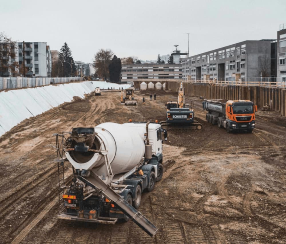
Photo documentation of line and large constriction sites during construction with correct location on the plan and in the GIS.
Whether large-scale projects in road construction or underground, recordIT VIA supports engineers and workers with documentation during construction. The built-in tag function and automatic positioning of photos not only enable precise documentation, but also rapid data retrieval. The system is self-learning and records keywords defined by the user in the database and makes them available again for further photographs.
In addition to the simple recording and output of data, the built-in tags serve to provide a clear structure for the document. In this way, the user can filter the required information along the entire construction site route and have it output in reports. recordIT via also makes it possible to implement the required defect management in parallel to the photo documentation. The exact description of defects, supported by comment functions, ensures completeness and traceability of all facts.
What recordIT via can do:
Search
Camera
Location
Sketches
Voice2Text
Structures
Keywording
Master data
Company layout
Individual maps
Tickets for externals
Allocation of access rights
Individual report templates / templates
Automatically position photos correctly on the plan and maps
Predefined and standardised keywords and tags enable quick searches
Filter images by information, location and date and export them immediately in the form of a report
Filter and export data by information and location
Central data management
Shortage management
Shared and complete management of construction site photos

Standard
€ 790,-
per year
Support
Mo-Fr. 09-12h
Enrolment
1 User Group
Process definition
Client
Premium
€ 880,-
per year
Support
Mo-Fr. 09-17h
Enrolment
1 User Group
Process definition
Together
Premium +
€ 1.390,-
per year
Support
Mo-Fr. 09-20h
Enrolment
2 User Groups
Process definition
Together